
Home > Catalogue > Browse > Map of England and Wales << >>
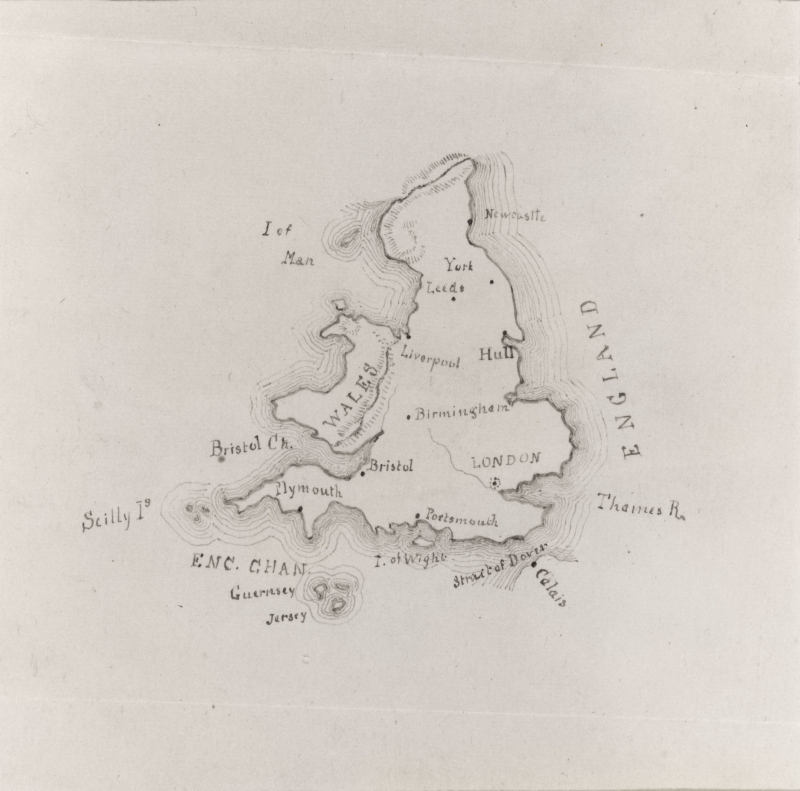
Map of England and Wales is signed and dated 1850, and was probably drawn when Whistler was at Christ Church School, Pomfret, CT.

Map of England and Wales, New York Public Library
Louise Chandler Moulton (1835-1908) remembered that the maps drawn at Pomfret by Whistler 'were at once the pride and envy of all the rest of us – they were so perfect, so delicate, so exquisite in workmanship.' 1
Last updated: 12th December 2018 by Margaret